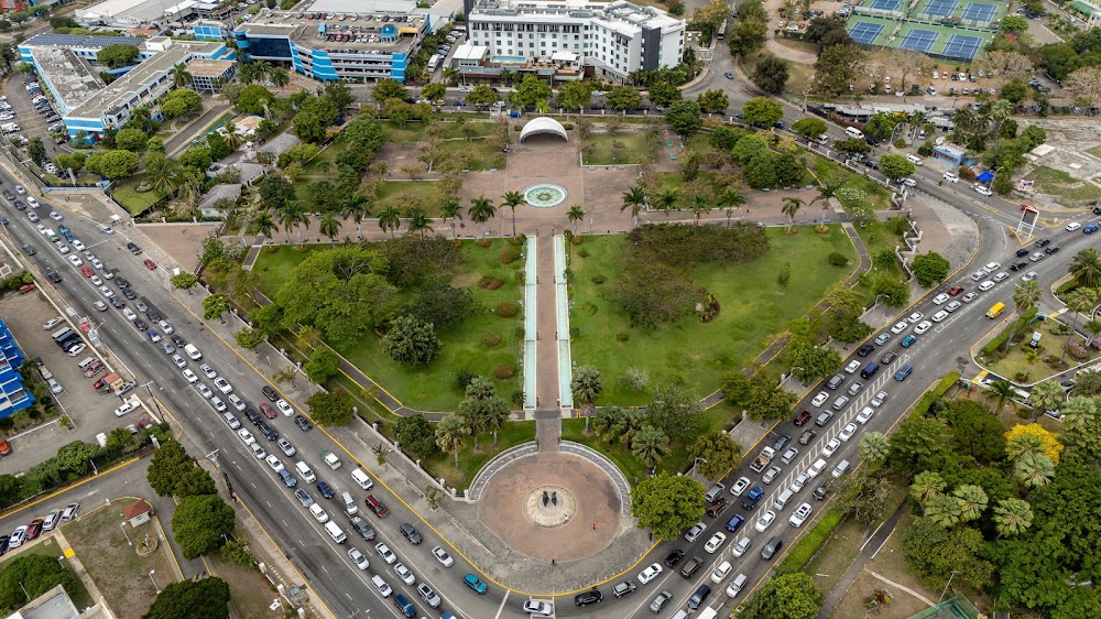
Kingston Waterfront is a free public promenade along Ocean Boulevard, facing the seventh largest natural harbour in the world and looking across at Port Royal, the town whose destruction created Kingston in the first place. It is not a beach and it is not pretty in the postcard sense. It is the most historically loaded stretch of concrete in Jamaica, and you should walk it knowing what you are looking at.
History
Kingston exists because Port Royal was destroyed
On 7 June 1692 an earthquake of roughly magnitude 7.7 hit Port Royal, at the tip of the Palisadoes across the water. Much of the town sank into the harbour. Around 2,000 people died in the earthquake and tsunami and perhaps 3,000 more in the weeks after from injury and disease.
The survivors camped on the north shore of the harbour, on 200 acres known as Colonel Barry's Hog Crawle, which the colonial government bought from Sir William Beeston for £1,000. On 22 July 1692 the town of Kingston was formally founded there and land grants were issued. The surveyor John Goffe laid it out as a grid bounded by North, East, West and Harbour Streets, and that grid is still the street plan you walk on downtown. Kingston did not really take off until Port Royal burned again in 1703, after which it became the island's main trading town. It only became the capital in 1872, when Sir John Peter Grant moved the seat of government from Spanish Town.
What made all of it work was the harbour: about 16 kilometres long by 3 wide, almost landlocked behind the Palisadoes, deep enough for anything afloat, and for two centuries the chief British trading gateway to Spanish America. The trade that filled it was sugar, and sugar in Jamaica meant enslaved Africans. These wharves are the descendants of the wharves that handled that business.
Victoria Pier and the Windrush
The pier at the foot of King Street carries Queen Victoria's name, as did the market that stood opposite it. Photographs in the National Library of Jamaica show it as the passenger landing for the city, and the Kingston and St Andrew Municipal Corporation records that cruise ships called there from the 1940s to the 1960s and that HMT Empire Windrush departed from it. The exact construction date of the pier is not something we can source confidently, so we will not give you one.
The Windrush sailing is the hinge of modern British history. The ship reached Tilbury on 21 June 1948 and passengers came ashore on 22 June, over a thousand people aboard, most of them Caribbean and more than half of those Jamaican. Sources disagree on the day it left Kingston: the National Maritime Museum's account and most British records give 24 May 1948, while the Municipal Corporation gives 27 May. Either way, the generation Britain later named after the ship walked up a gangway on this waterfront.
The 1960s rebuild
Downtown was flattened by fire and earthquake on 14 January 1907, which killed 800 to 1,000 people and damaged every building in Kingston, and the low rise city you see is partly a result of that. The waterfront's present shape, though, is a deliberate post independence project. The Kingston Waterfront Redevelopment Company was created by government in November 1966, and the Urban Development Corporation followed in 1968. Between them they built Ocean Boulevard, government offices, a high rise hotel, apartments and shopping arcades, in an explicitly modernist and international idiom that expressed the optimism of a country four years into independence. The Bank of Jamaica opened its Nethersole Place headquarters on 29 March 1976.
The best building on the strip is the Jamaica Conference Centre, designed by the Jamaican architect Patrick Stanigar and built by the UDC in twelve months, nineteen from first design in June 1981 to completion in February 1983. It was built to United Nations specification to house the International Seabed Authority, and it is finished in St Thomas limestone with sisal wall coverings, woven baskets and bamboo ceilings made by Jamaican craftspeople. Queen Elizabeth II opened it on 15 February 1983.
The redevelopment did not revive downtown as intended, and the central business district drifted uptown to New Kingston anyway. That is the honest verdict on it.
Negro Aroused
The bronze figure on Ocean Boulevard is Edna Manley's Negro Aroused, a crouching man rising, first carved in 1935 and exhibited in 1937. Manley was commissioned in 1977 to remake it at seven feet. That version burned in a warehouse fire before it could be shipped to New York for casting. The monumental bronze on the waterfront was scaled up and cast in 1991, four years after her death.
What it costs and when it opens
Free, open air, no gate. The promenade itself is walkable at any time, but treat it as a daylight and early evening place. The Jamaica Conference Centre and the restored Victoria Pier venues keep their own hours, so check those individually.
What it is actually like
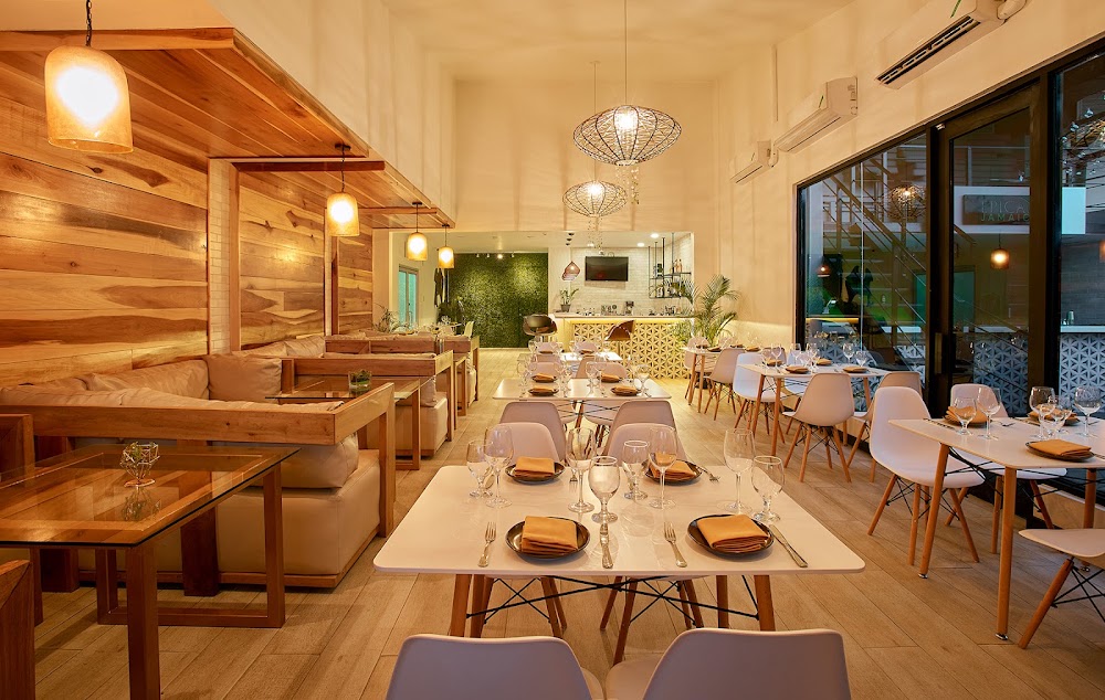
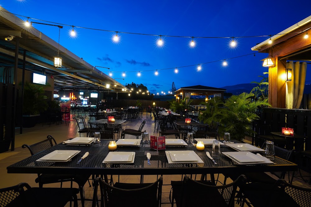
Wide, hot, exposed and often near empty on a weekday afternoon, with working container cranes to the west and Port Royal low on the far side of the water. It comes alive for events: Ocean Boulevard hosts large concerts and street festivals, and Victoria Pier now holds restaurants and bars that fill at weekends.
Downtown Kingston is a working city, not a tourist quarter. Walk it in daylight, keep your phone away when you are not using it, and do not wander into unfamiliar side streets north of Harbour Street without a local. That is normal Kingston advice, not a reason to avoid the place.
How it fits a day
The waterfront works as a downtown block. YaadBinge normally runs National Heroes Park and the Institute of Jamaica in the morning, reaches Ocean Boulevard around 11.30am, walks the promenade and Negro Aroused, then eats at Victoria Pier from about 12.30pm.
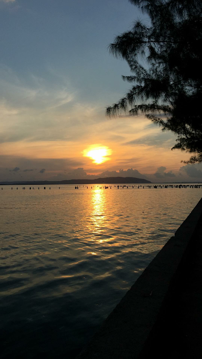
The other strong option is late afternoon, arriving around 4.30pm for the light across the harbour and staying for dinner on the pier. From here the road out along the Palisadoes to Port Royal is the obvious next move, roughly 30 to 40 minutes by car, which closes the loop on the whole story.